Soil Resources Assessment Using Remote Sensing and GIS
Explore how cutting-edge remote sensing and GIS technologies are transforming soil resource assessments.
Thursday, December 5, 2024
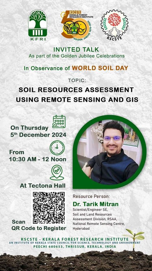
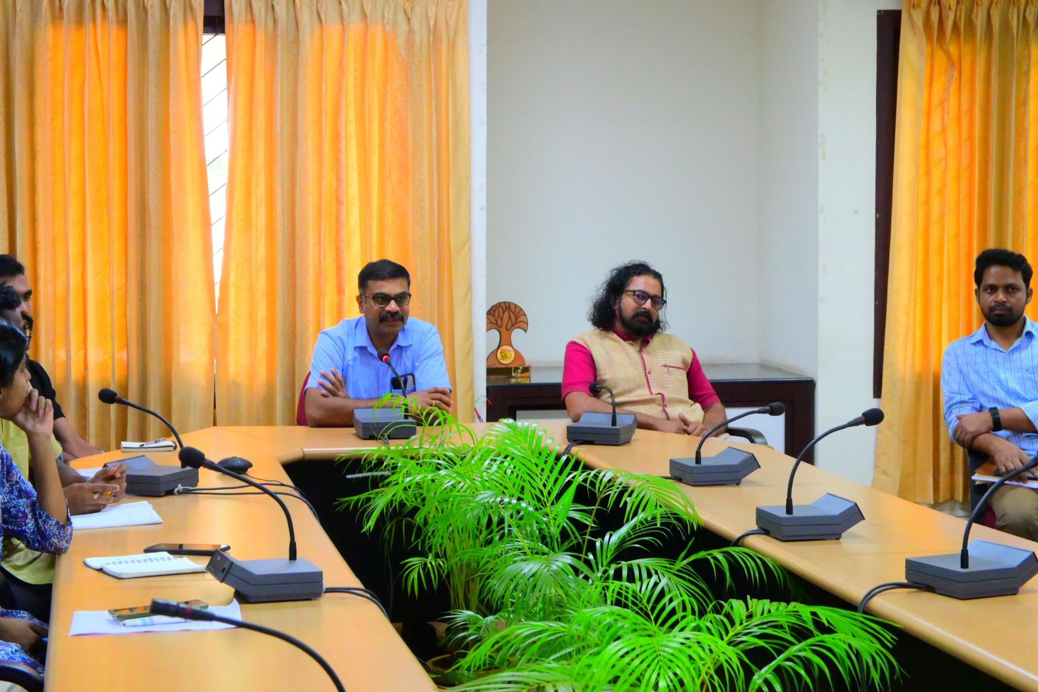
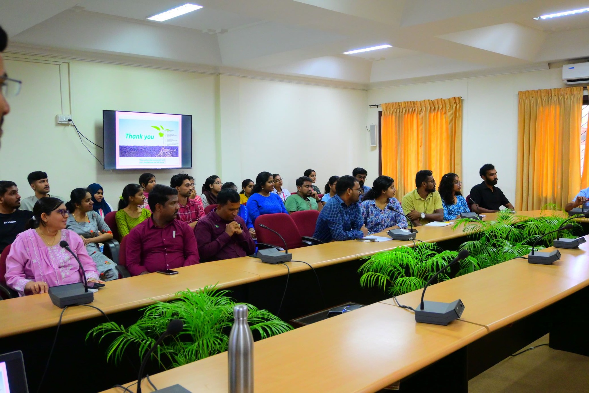
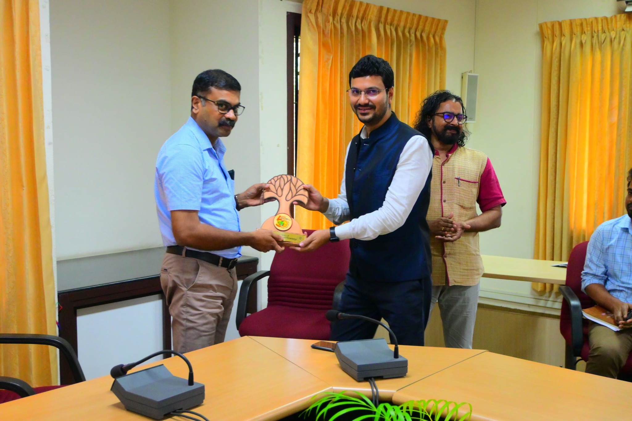
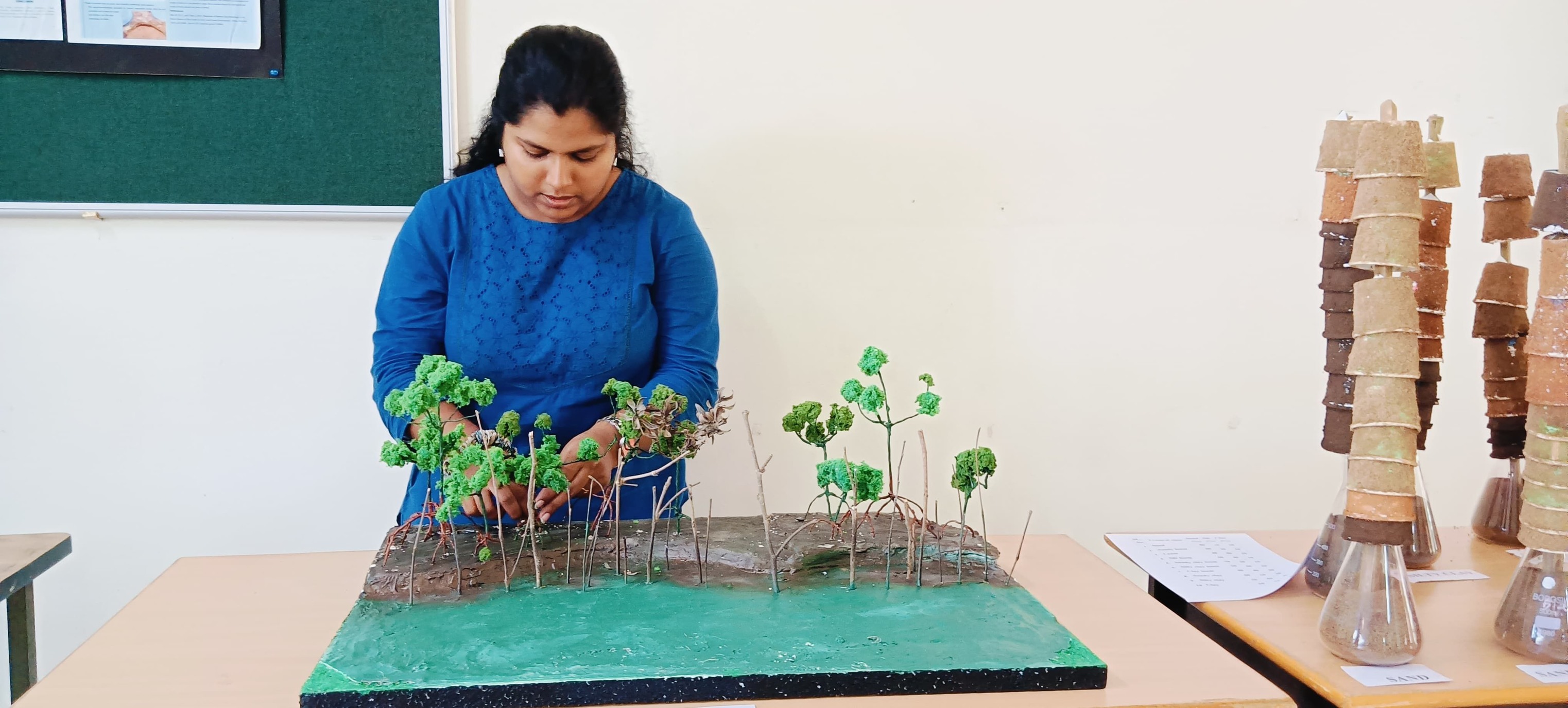
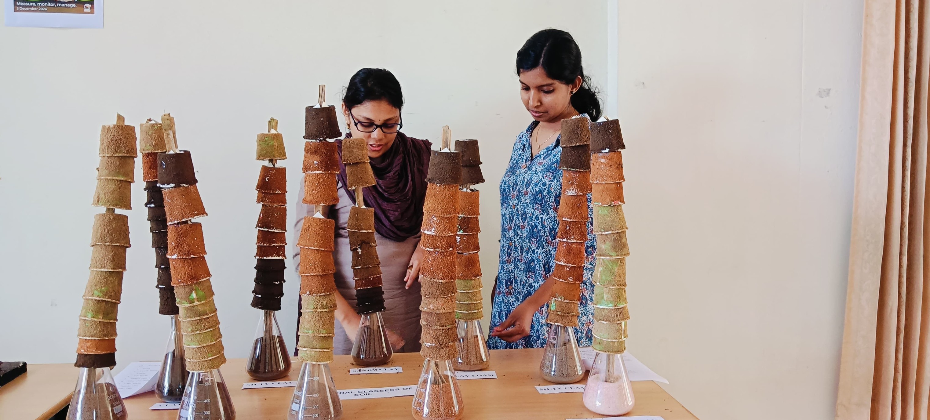
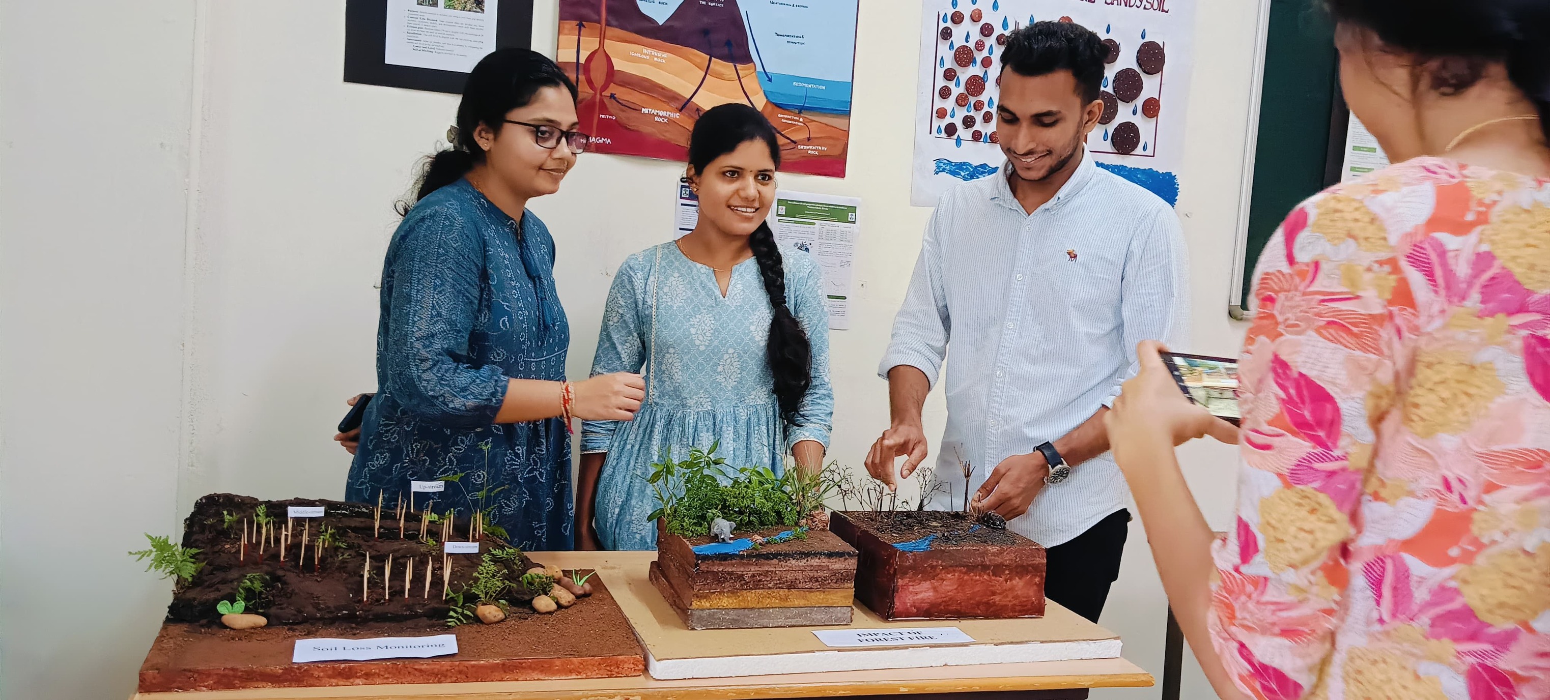
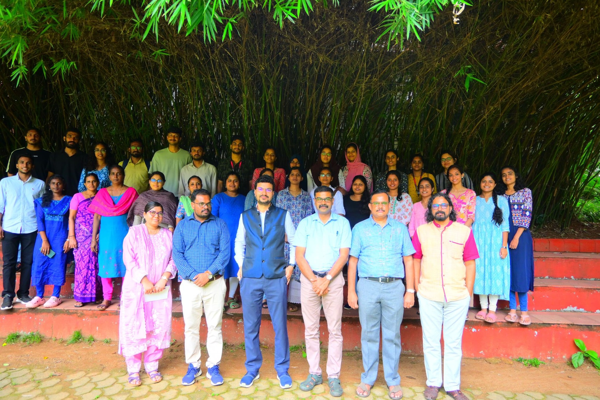
KSCSTE-KFRI successfully hosted an insightful Invited Talk on Soil Resources Assessment Using Remote Sensing and GIS as part of the Golden Jubilee Celebrations and World Soil Day 2024.
Dr. Tarik Mitran, Scientist/Engineer SE from the National Remote Sensing Centre, Hyderabad, delivered an engaging session on how modern remote sensing and GIS technologies revolutionise soil resource assessments.

