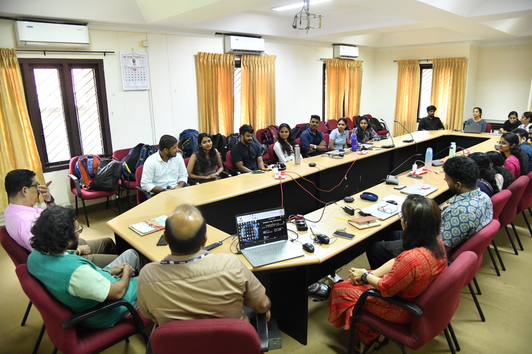
Five days of Hands-on Training on Fundamentals of GIS & Remote Sensing
Participants are actively engaging in practical sessions and exploring the applications of GIS and Remote Sensing in research and field studies.
Monday, August 18, 2025
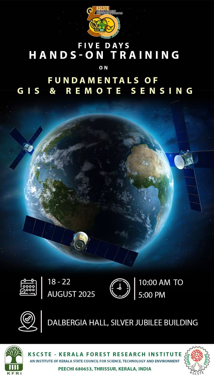
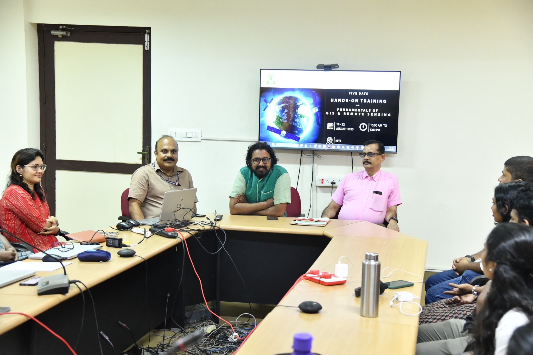
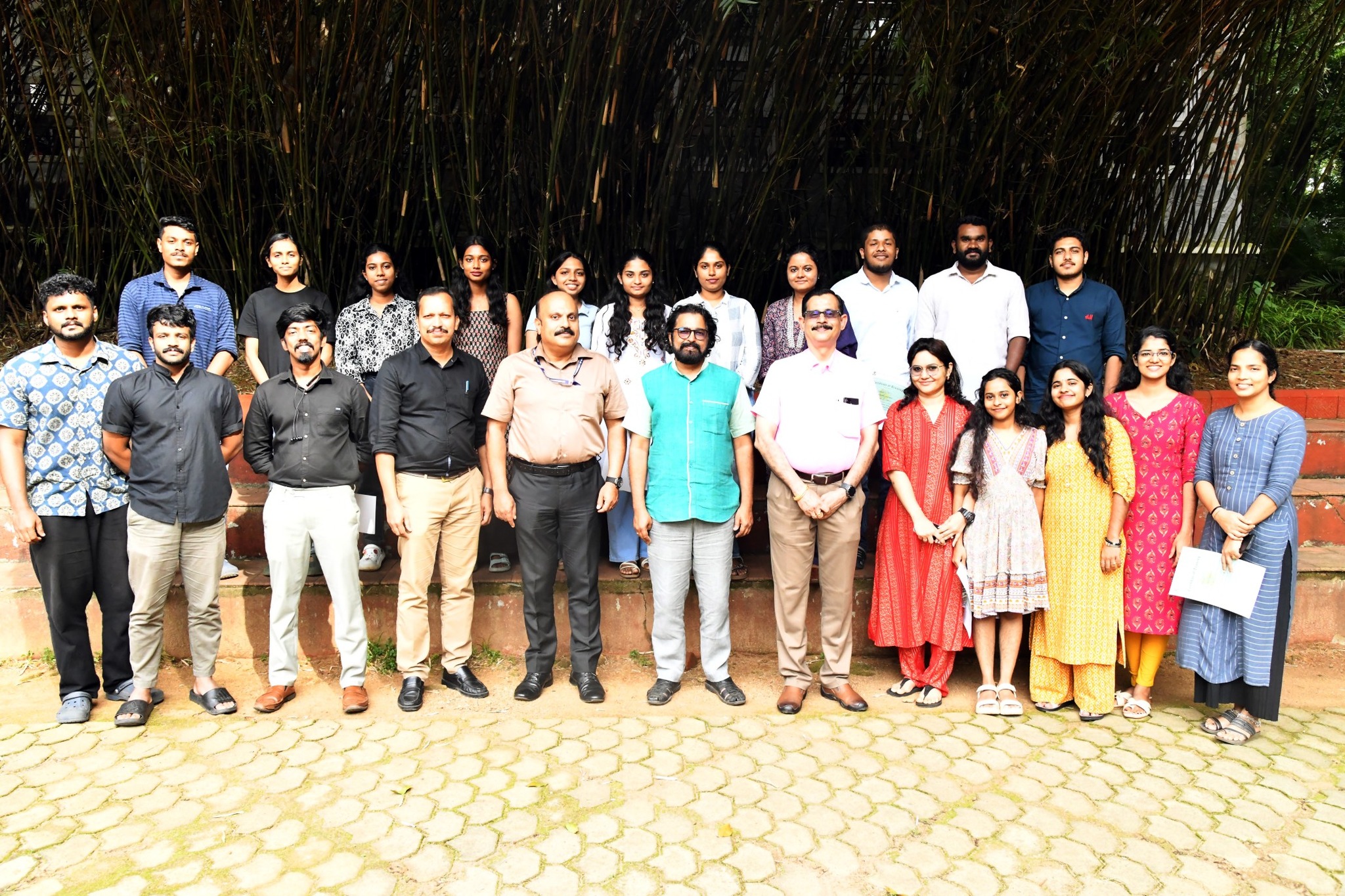
Kerala Forest Research Institute (KFRI) successfully concluded its 10th Five-Day Hands-on Training Program on Fundamentals of GIS & Remote Sensing, held from 18–22 August 2025 at Dalbergia Hall, Silver Jubilee Building, Peechi, as part of its Golden Jubilee Celebrations.
The program, exclusively designed for beginners, provided practical exposure to GIS and Remote Sensing software, including ArcMap, QGIS, Google Earth Pro, and others. The training was coordinated by Dr. K. A. Sreejith, Principal Scientist, while sessions were led by Ms. Kavya Prabhakar.
At the valedictory session, certificates were distributed to participants in the presence of Dr. Kannan C. S. Warrier, Director of KFRI, and Colonel Johnson Thomas, Registrar of KFRI.
The workshop attracted research scholars, professionals, and students from universities and institutions across Kerala and beyond, making it a vibrant platform for knowledge sharing and skill development in the fields of GIS and Remote Sensing.
Gallery